◆ Water levels looking positive as snowmelt begins.

Moisture levels in Western Wyoming are looking positive, according to information provided by the Natural Resource Conservation District.
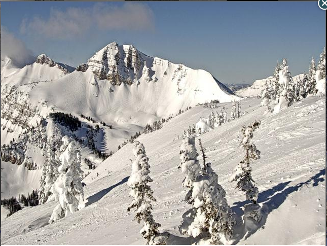
“The water content in area wide snow packs are slightly above median for the most part due to normal snow fall in our mountains the past month,” said DeMont Grandy, natural resource specialist. “It is a conundrum why our low valley elevations continue to have unusually high amounts of snow.”
According to Snotel resports for the region, as of April 1, the Snake River Basin’s snowpack had a median of 112 percent, slightly above last year’s median of 108 percent.
“The Star Valley area snowpacks ranged from a high at the Willow Creek Snotel Site at 132 percent of median to a low at the Grover Park manual snow course at 120 percent of median,” said Grandy. “The Greys River Drainage snowpacks ranged from a high at the Spring Creek Divide Snotel Site at 116 percent of median to a low at the Blind Bull Summit Snotel Site at 113 percent of median. Overall, the snowpacks in northern Lincoln County are doing well.”
Based on moisture levels in March, the Greys River was predicted to flow 96 percent of average. The Salt River was predicted to flow 105 percent of average. Palisades Reservoir, as of March 1, was 87 percent of current capacity.

“The Upper Bear River Basin’s snowpacks, as of April 1 were 108 percent of median,” said Grandy. “Last year at this time, overall snowpacks’ median were 111 percent. Snowpacks in the Cokeville area ranged from a high at the Salt River Summit Snotel Site at 120 percent of median to a low at the Kelley Ranger Station Snotel Site at 106 percent of median. The head of the Bear River in the Uinta Mountains snowpacks ranged from a high at the Hayden Fork Snotel Site at 114 percent of median to a low at the Lily Lake Snotel Site at 102 percent of median.”
Based on moisture levels in March, the Bear River near Woodruff, Utah, was predicted to flow 93 percent of average. The Smiths Fork River northeast of Cokeville was predicted to flow 84 percent of average. As of March 1, Woodruff Narrows Reservoir was 38 percent of current capacity.
“The Lower Green River Drainage Basin’s snowpacks overall, as of April 1, were 114 percent of median, above last year’s median of 101 percent,” Grandy said. “Snowpacks in the Upper Hams Fork River Watershed ranged from a high at the Hams Fork Snotel Site at 115 percent of median to a low at the Indian Creek Snotel Site at 97 percent of median. The high elevation Indian Creek Snotel Site has struggled to get above median this water year.”
Based on moisture levels in March, the Hams Fork River was predicted to flow 74 percent of average at the Hams Fork Pole Creek Site. The Viva Naughton Reservoir, as of March 1, was 63 percent of capacity.
“The water year is doing well for the most part throughout Lincoln County,” said Grandy. “If April storm events continue as in the past, there should be ample water for all users.”
Snowpacks are “starting to melt out in the lower elevations, creating slick, muddy road conditions,” Grandy said.
“Stay off the back-country roads until they dry out,” he advised. “Back-county road maintenance is a huge expense for county and federal land management agencies.”
Individuals wanting more snowpack/water forecast information may contact the Lincoln Conservation District (LCD) Field Office at (307) 279-3256 or the Wyoming State Engineer’s Office in Cokeville at (307) 279-3441.