The following is a news release from the Bridger-Teton National Forest
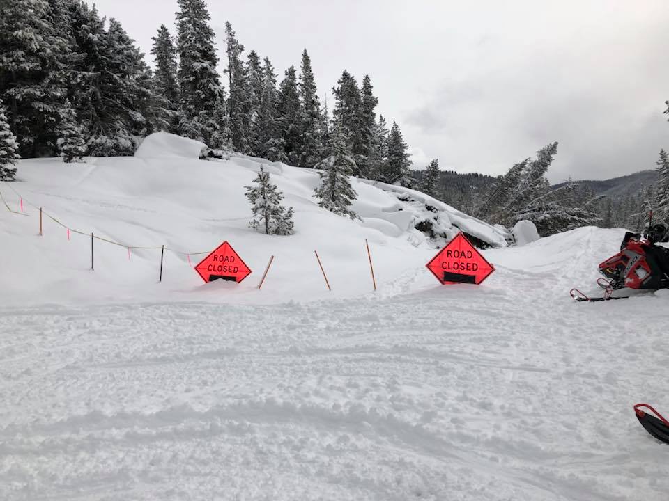
Alpine, Wyo., February 21, 2018 – As the landslide continues to move on the Greys River Road, 17 miles from the parking lot in Alpine, Wyoming, the Bridger-Teton National Forest has identified a makeshift route around the slump that should allow access for snowmobilers with modest ability.
With help from the Star Valley Ridge Riders, Star Valley Search and Rescue, and outfitters from the Box Y Ranch, the Bridger Teton National Forest has identified a route skirting the dynamic hummocks and marked the temporary path with orange stakes and neon green flagging. Approximately half of the interim route is located where it can be groomed. There is nearly .8-mile of the reroute that will be ungroomed and will require at least an intermediate ability level on a snowmobile.
“Half of the route is on the Porcupine Road which can be satisfactorily groomed provided there is adequate snow,” said Greys River District Ranger Justin Laycock. “The remaining portion of the reroute is going to continue to provide access until the snow melts,” he said. “We will be looking at our long-term options once the hillside stops sliding and stabilizes,” he stated.
While the cause of the landslide is unknown, specialists have noted that the epicenter of a 3.4 magnitude earthquake occurred in the vicinity of the now sliding hillside on February 1, 2018. “It is not unheard of to have geologic activity in this area of the District,” said Laycock. “The landscape is ever- changing and because of that we won’t be able to effectively assess all of our options until things stabilize, but access to this portion of the Forest will be our focus going forward,” he said.
- 25Shares