Provided by DeMont B. Grandy, Natural Resource Specialist, LCD
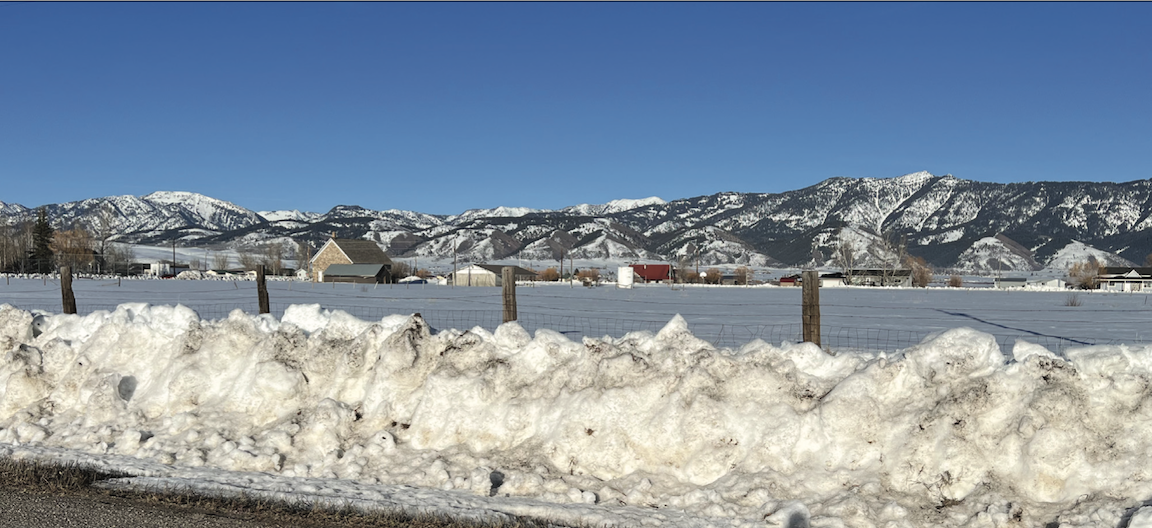
The past month’s snowpacks’ area wide snow water equivalents (SWE) remained above median for this time of the year. It has been a good water year so far, nothing too extreme above or below median.
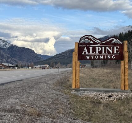
As of April 1st, this year, the Snake River Basin’s snowpacks’ SWE, as a whole, was 106 percent of median, somewhat close to last year’s median of 99 percent of median. The Salt River Drainage Basin’s snowpacks’ SWE ranged from a high at the CCC Manual Snow Course at 133 percent of median to a low at the Cottonwood Creek Snotel Site at 115 percent of median. The Greys River Drainage Basin’s snowpacks’ SWE ranged from a high at the Blind Bull Summitt Snotel Site at 113 percent of median to a low at the Spring Creek Divide Snotel Site at 110 percent of median.
Most probable, water flow prediction for the Greys River, as of March 1st, was 111 percent of median, a substantial gain from February 1st median. The Salt River near Etna, most probable water flow prediction, as of March 1st, was 106 percent of median, also a substantial gain from February 1st median. Jackson Lake, as of March 1st, was 77 percent of capacity.
Upper Bear River Basin’s snowpacks’ SWE, as a whole, for April 1st this year, was 99 percent of median, down from the last year’s median of 119 percent. The snowpacks’ SWE in the Cokeville, WY, area this year ranged from a high at the Salt River Summit Snotel Site at 116 percent of median to a low at the Big Park Manual Snow Course at 107 percent of median. The head of the Bear River snowpacks’ SWE ranged from a high at the Trial Lake Snotel Site at 114 percent of median to a low at the Hayden Fork Snotel Site at 89 percent of median.
As of March 1st, the most probable water flow prediction for Bear River near Woodruff, UT, was 103 percent of median. The Smiths Fork River near Border, WY, most probable water flow prediction was also 103 percent of median. Both waterflow predictions jumped a lot from February1st predictions. The Woodruff Narrows Reservoir was 69 percent of capacity as of March 1st.
The Lower Green River Basin’s snowpacks SWE, as a whole, for April 1st was 100 percent of median. Last year’s overall snowpack was 113 percent of median. Snowpacks’ SWE in the Upper Hams Fork River Drainage Basin ranged from a high at the Kelley Ranger Station Snotel Site at 118 percent of median to a low at the Hams Fork Snotel Site at 102 percent of median. As of March 1st, the Hams Fork River below Viva Naughton Reservoir most probable water flow was predicted to flow 105 percent of median, up a lot from February 1st prediction. As of March 1st, Viva Naughton Reservoir was 72 percent of capacity.
With the onset of April, spring showers are starting to come in the form of rain in the lower elevations. The higher elevations are still building snowpacks. It will be mid-April until snowpacks start to melt. The precipitation received in April is extremely important for rangeland grass and forb growth. The months of April and May precipitation will make or break grazing prospects for livestock producers.
Individuals wanting more snowpack/water forecast information may contact the Lincoln Conservation District (LCD) Field Office at (307) 279-3256 or the Wyoming State Engineer’s Office in Cokeville at (307) 279-3441.