Nature Mapping Jackson Hole Debuts Upgrades to Community Wildlife-Observations Database
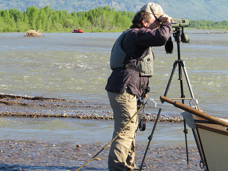
Jackson, WY – The Jackson Hole Wildlife Foundation (JHWF) is excited to celebrate the 10th anniversary of its flagship citizen-science program Nature Mapping Jackson Hole (NMJH) with the launch of an upgraded data entry platform designed to enhance the NMJH wildlife-sightings database for Teton County. The new platform can be accessed at https://naturemapping.jhwildlife.org.
JHWF encourages anyone passionate about wildlife and conservation to become a trained Nature Mapper by attending a certification training. The next training session is scheduled for Monday, October 28 at 5:30 pm at Teton County Library. All certification trainings are open to the public, however, RSPVS are required.
To sign up for the training, please email: info@jhwildlife.org (space is limited).
This improved digital platform (mobile web app) enhances the user experience by allowing citizen-scientists to submit their wildlife observations “offline” on mobile devices. It further enables users to submit photos with their observations, adds entry for specialized projects with custom data fields, improves the ability of staff to manage administration of data on the backend, and enhances the platform’s security. JHWF employed the services of Seattle-based developer Kyle Zinter.
“Nature Mapping is a critical citizen-science project not otherwise replicated in the valley,” says JHWF Board President Bruce Pasfield. “We are excited to provide our mappers with a more streamlined approach to entering data.”
Recently, observations from the NMJH wildlife-sightings database has been requested by researchers to identify wildlife-vehicle collision hotspots and priority sites for potential wildlife crossing solutions. Additionally, NMJH data has been used to better understand the population of the Jackson Moose Herd, to identify species utilizing the Snake River levee system, and contribute to local research concerning the Boreal Toad, just to name a few recent examples.
“By involving hundreds of citizen scientists through Nature Mapping Jackson Hole, individuals are able to contribute small amounts of data, which add up to a large data set,” says JHWF board member Jennifer Newton. “These data then help researchers, as well as state and federal agencies, to better understand the wildlife in our community.”


