By Dustin Bleizeffer, WyoFile.com
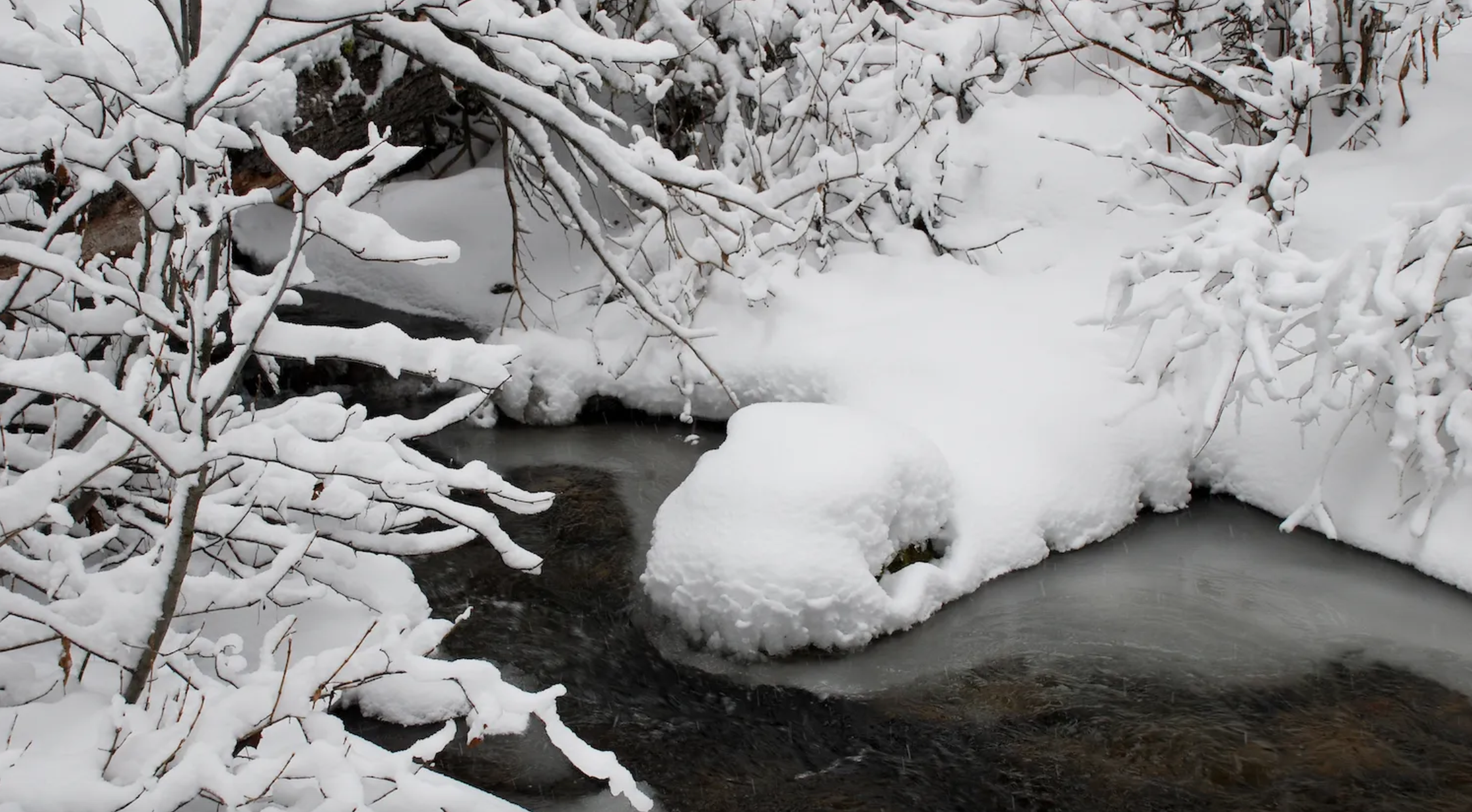
Snowpack measured 79% of the state’s average median at the beginning of March, while much of the state recorded warmer-than-usual winter temperatures despite a few record one-day lows. Forecasts for continued warmer temps point toward a possible early runoff season, according to National Oceanic and Atmospheric Administration data and local meteorologists.
“It’s been a winter of extremes,” Riverton National Weather Service meteorologist Brett McDonald said. “It seems like we get the cold air in and we set some cold temperature records. But then as soon as the cold air goes out we go on the warm side again.”
January temperatures were about 5 degrees Fahrenheit warmer on average in central and western portions of the state, according to McDonald. Despite a cold snap in the early part of the month, March is also shaping up to be warmer than average, he said.
Conditions are in keeping with a warming climate in Wyoming that threatens to significantly alter spring runoff. Season runoff has occurred earlier in the year in many river basins, posing challenges for agriculture, wildlife, recreation and other vital aspects of the state’s economy. The annual mean springtime temperature in the Upper North Platte Valley, for example, has increased by 3.6 degrees Fahrenheit — twice the global average — since 1920, according to NOAA data.
That has pushed the beginning of spring runoff season around Saratoga, Riverside and Encampment up by nearly two weeks in some recent years.
“That’s one of the things that global warming does, is you start steadily bumping up your spring runoff and start seeing that earlier in the season,” McDonald said. “Granted, there’s a lot of variability with that.”
A slow start to Wyoming’s snow season delayed openings for several ski resorts, but conditions have improved in many areas.
Snowpack is strongest in the Tongue River, Upper North Platte River and Wind River basins, measuring 96%, 92% and 90% of average median snow-water-equivalent respectively, according to the March 8 Wyoming snowpack update compiled by Wyoming Natural Resource Conservation Service Hydrologist Jim Fahey.
Snowpack in the South Platte River Basin in southeast Wyoming measured only 33% of the average median. Meantime water managers remain concerned about the Snake River Basin where Jackson Lake may only fill to 48% of capacity this summer, possibly rendering the Colter Bay Marina unusable this year, according to the Jackson Hole News&Guide.
“In my 18 years [in Wyoming], I’ve never seen that before,” Fahey told WyoFile. “They [Jackson Lake] had one of the lowest inflows ever recorded this past year.”
Wyoming’s 79% of the average median snowpack so far this year compares to 87% this time last year. However, springtime — April, May and June — is always a wildcard in Wyoming, especially east of the Continental Divide, Fahey said.
So far NOAA forecasts call for slightly warmer-than-average temperatures and slightly below average precipitation for April. But springtime precipitation in Wyoming is difficult to predict and can stray far outside of forecast models. Even if the state gets socked with heavy springtime snows — which typically come mid-April to mid-May — the state is likely to see an early springtime runoff season with a significant amount of moisture lost to persistently warm and dry conditions.
“We may have an early runoff, and we may have some problems with losing runoff due to percolation, evaporation and recharging groundwater” due to drought, Fahey said.
Indicative of a mild winter season in Wyoming, pronghorn and deer herds wintered near Pinedale rather than migrating further south toward Rock Springs, while a few male bears have recently emerged from their dens, Wyoming Game and Fish Public Information Specialist Mark Gocke said.
“Some of our elk have been drifting off of feedgrounds, which might be a bit earlier than normal as well,” Gocke told WyoFile via email. “But that also happened last year as it was pretty mild, and there’s probably been an overall trend that way recently with winters being generally milder.”
Much of northwest Wyoming, the Wind River Range and north-central Wyoming remains in “extreme” drought conditions, according to the Wyoming Drought Monitor. Drought conditions have improved in the southern and southwest portions of the state. But, Fahey said, even those areas “still have a significant deficit to overcome.
“I wish conditions were better, but we’re still in a pretty good drought in a lot of areas,” Fahey added.
Despite strong snowfall in the Central Rockies, the extended 23-year drought that has gripped much of the West continues to stress water resources in the Colorado River Basin, which extends into southwest Wyoming.
Both Lake Mead and Lake Powell are at historic lows — 34% and 24% of capacity respectively. Lake Powell hit a “threshold” point this week that could require the upper basin states (New Mexico, Utah, Colorado and Wyoming) to take mitigation efforts under a drought response operations agreement — part of the Colorado River Drought Contingency Plan — to help ensure flows to downstream states in the basin.
“We [Bureau of Reclamation and upper division states] are working on formalizing plans to potentially send additional water down to Lake Powell,” said Dale Hamilton, who serves as Drought Response Operations Coordinator for the Upper Colorado Basin Region.
The U.S. Bureau of Reclamation released an additional 125,000 acre feet of water from Flaming Gorge Reservoir from July to October 2021 as part of the drought relief effort. So far, Colorado River stakeholders haven’t determined drought relief mitigation efforts for this year, Hamilton said. Stakeholders are still hammering out structural aspects of the drought contingency plan — which was created in 2019 — and they expect to begin making specific mitigation recommendations sometime in May.
For now, Flaming Gorge — which straddles the Wyoming-Utah border — is at about 78% capacity, according to the Bureau of Reclamation. The Flaming Gorge Reservoir infill forecast is currently 56% of the annual average, Hamilton said, which is an improvement over last year.


