Provided by
DeMont B. Grandy,
Natural Resource Specialist, LCD
Area wide snowpacks are variable depending upon your location for the month of January. Generally speaking, snowpacks are higher in the South end of Lincoln County and taper off as you go north, especially in the Upper Green River Basin . Lower elevation snowpacks are below median which is a reverse of last year’s measurements.
It is certain there is a changing climate from year to year, whether it is a major shift from past years’ trends, over the past several decades, is debated by many climatologists. Currently, southwest Wyoming appears to be in an El Niño type weather event, which usually means below normal precipitation events in the winter months and above normal in the spring months. Last year was a La Niña weather event.
As of February 1st, this year the Snake River Basin’s snowpacks’ snow water equivalent (SWE) as whole, is 74 percent of median. Last year it was 109 percent of normal for this time of the year. The Salt River Drainage Basin’s snowpacks’ SWE ranged from a high at the CCC Camp Manual Snow Course at 104 percent of median to a low at Cottonwood Snotel Site at 93 percent of median. The Greys River Drainage Basin’s snowpacks’ SWE ranged from a high at the Spring Creek Divide Snotel Site at 83 percent of median to a low at Blind Bull Summit Snotel Site at 78 percent of median.
Water flow predictions for the Greys River, as of January 1, was estimated to be 85 percent of median. The Salt River near Etna was predicted to flow around 82 percent of median. Most probably water flow predictions will change over time depending upon future climatic events. Jackson Lake as of January 1, was 69 percent of capacity.
The Upper Bear river Basin’s snowpacks’ SWE, as a whole, for February 1 is 103 percent of median. This is lower than last year’s median of 150 percent of median but still good. The snowpacks in the Cokeville, WY, area ranged from a high at the Big Park Manual Snow Course at 98 percent of median to a low at the Salt River Summit Snotel Site at 97 percent of median. The head of the Bear River’s snowpacks’ SWE ranged from a high at the Bug Lake Snotel Site at 130 percent of median to a low at the Trial Lake Snotel Site at 88 percent of median.
As of January 1, the water flow predictions for the Bear River near Woodruff, Utah, was predicted to most probably flow 76 percent of median. The Smiths Fork River near Border, WY, was predicted to most probably flow 80 percent of median. The Woodruff Narrows Reservoir was 84 percent of current capacity.
The Lower Green river Basin’s snowpacks’ SWE, as a whole, for February 1 was 94 percent of median. Last year’s overall snowpack was 146 percent of median. Snowpacks’ SWE in the Upper Hams fork River Drainage Basin ranged from a high at the Kelley Ranger Station Snotel Site at 96 percent of median to a low at the Indian Creek Snotel Site at 85 percent of median.
As of January 1, the Hams Fork River below Pole Creek most probable flow prediction was 68 percent of median. As of January 1, Viva Naughton Reservoir was 83 percent of capacity.
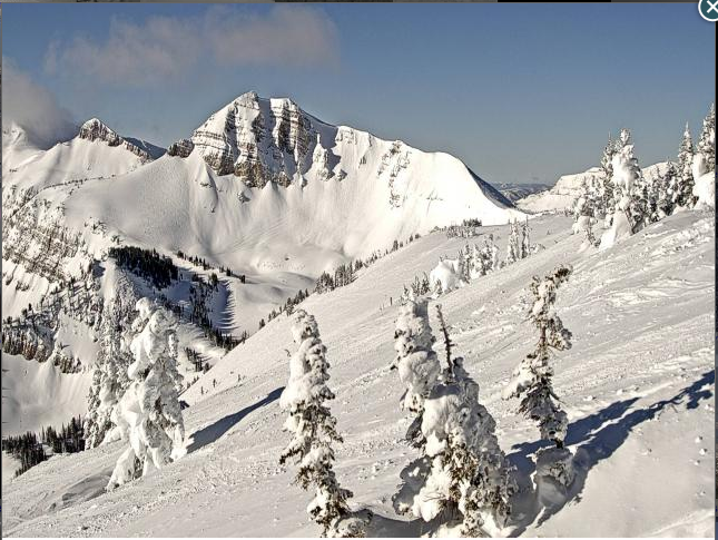
There is still a lot of winter ahead. Snowpacks can change rather quickly. Luckily, weather conditions have moderated over last year’s snowpack levels. Every year is different. This year’s low elevation snowpacks are lagging. Last year the low elevation snowpacks were quite high. Let’s see what the month of February brings. Remember to be safe in the back country. Avalanche danger is a concern in the high mountain steep terrain.
Individuals wanting more snowpack/water forecast information may contact the Lincoln Conservation District (LCD) Field Office at (307) 279-3256 Ext. 3 or the Wyoming State Engineer’s Office in Cokeville at (307) 279-3441. A tabulation worksheet of daily statewide Snotel site measurements may be taken off the internal at www.wrds.uwyo.edu/wrds/nrcs/


