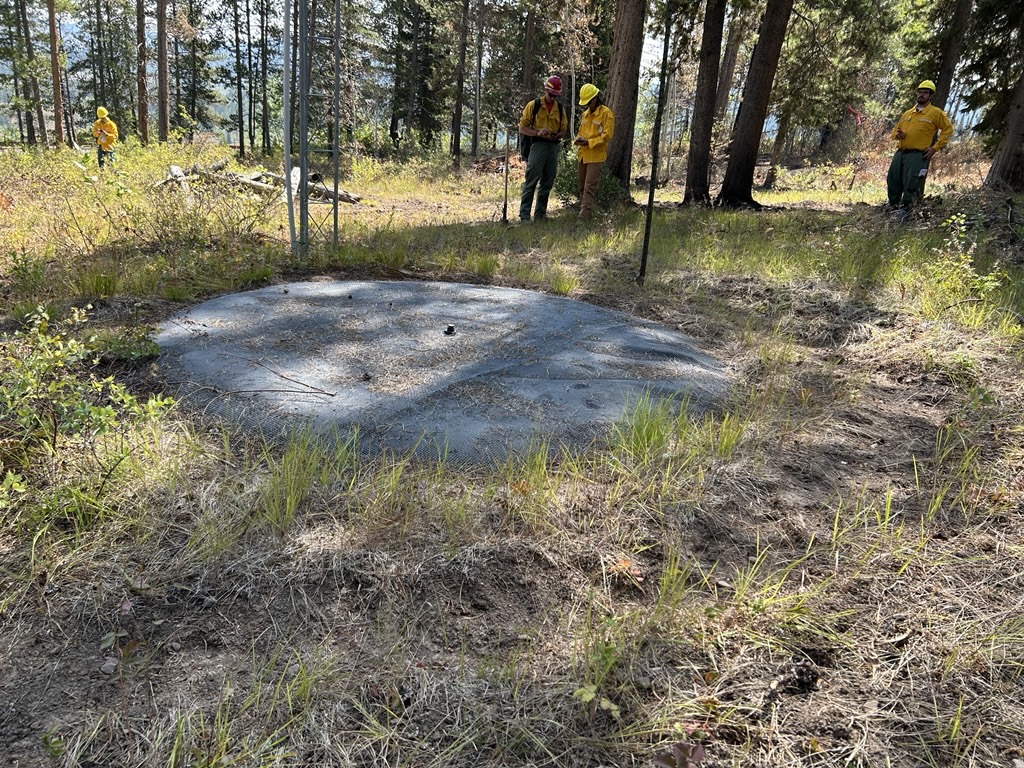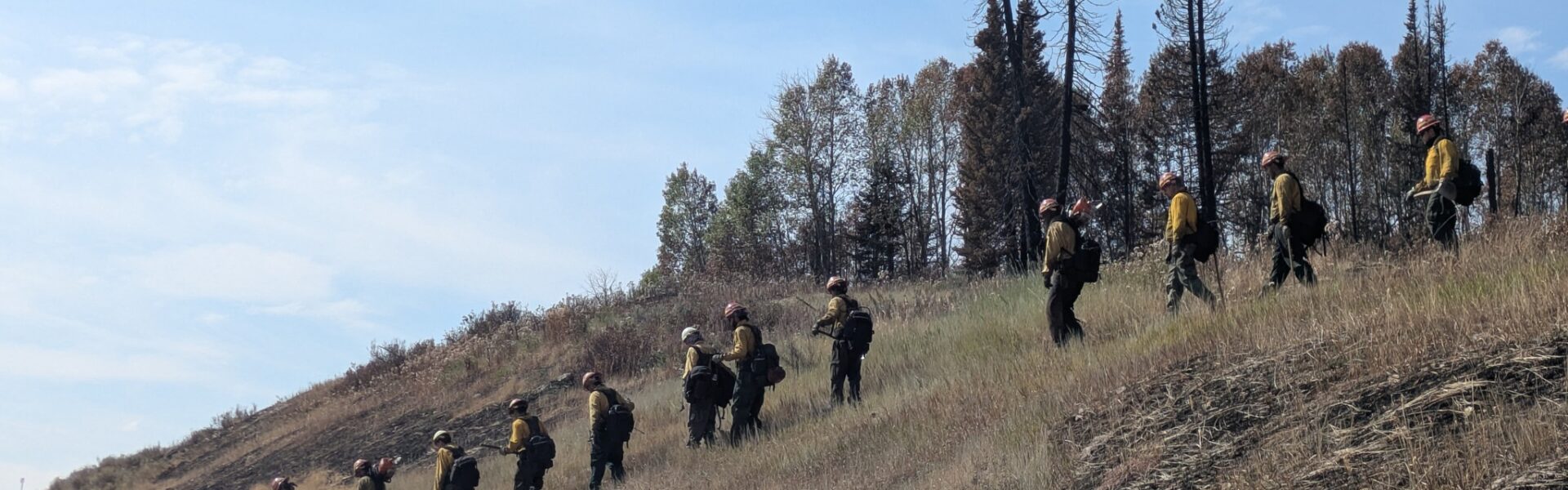
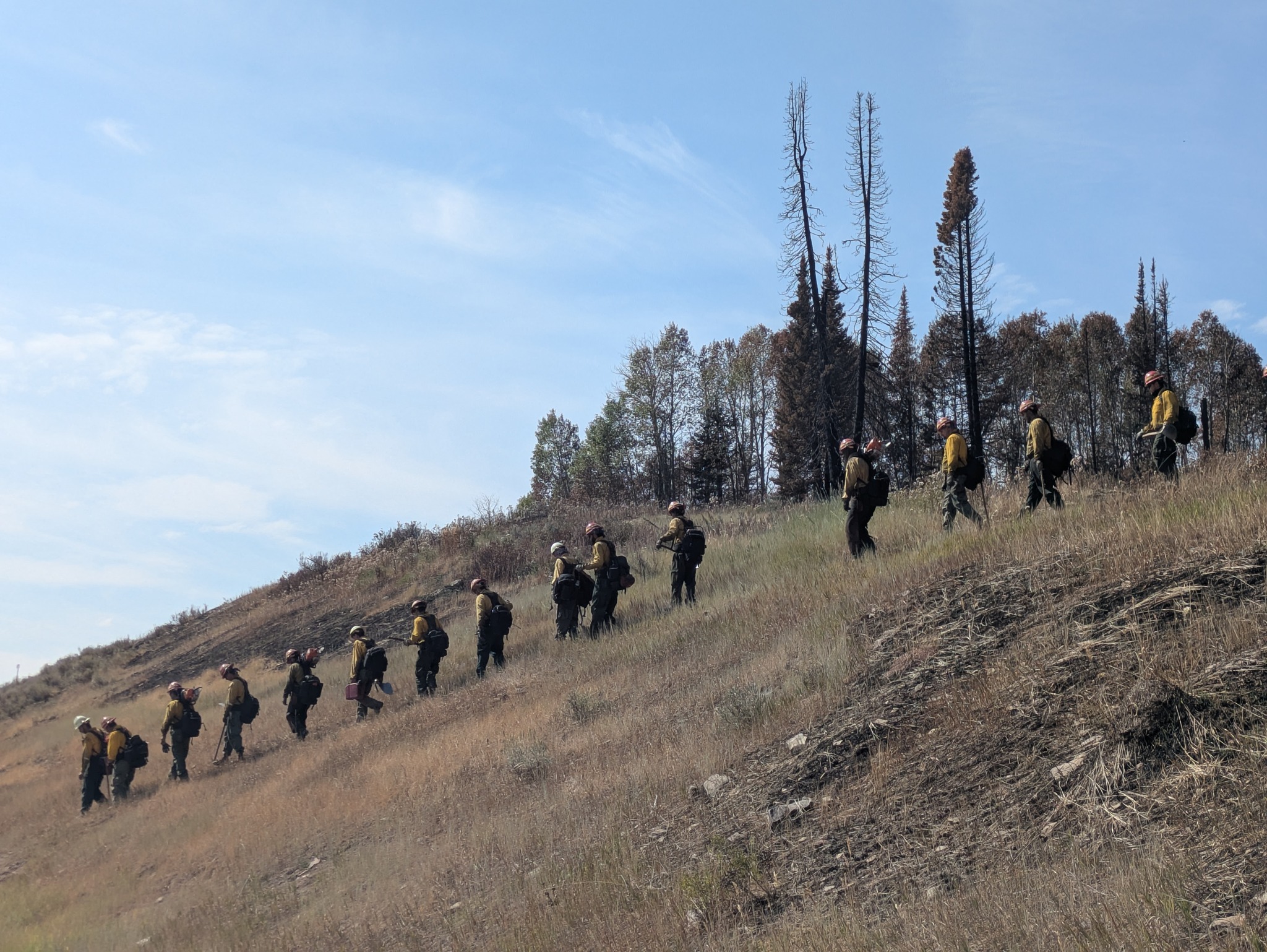
Significant progress was made along the western edge of the fire with solid containment lines created from H15 Spike Camp to H10, increasing the fire’s overall percent of containment to 53%. Helicopters assisted with containment efforts by providing bucket drops along the northern edge, while intermittently slinging supplies and equipment to the spike camps. Mop up efforts continued along the eastern edge, with crews thoroughly extinguishing any remaining hot spots, smoldering embers, or burning vegetation within the containment line. A suppression and repair crew started rehabilitation work on the east side dozer line, minimizing impacts that occurred as a result of fighting the fire.
WEATHER FORECAST
The area saw isolated thunderstorms and showers, producing gusty winds and increased fire behavior but minimal wetting rain. Similar weather patterns are expected for Friday with a high temperature in the low 70’s, isolated showers with a 10% chance of wetting rain. The chance of rain will increase to 35% over the weekend, and monsoonal moisture will result in higher relative humidity levels (68%), with the possibility of 20 miles per hour wind gusts.
EVACUATION/CLOSURE INFORMATION
Lincoln County utilizes the READY, SET, GO! method. It’s important to be familiar with each stage; read the descriptions by visiting the Lincoln County Emergency Management’s Wildland Fire Action Guide at https://tinyurl.com/yc7fe9cx
After aerial assessments and collaborations with Incident Management Team, ALL areas within the previously established evacuation zones have been downgraded to “READY”. Please continue to monitor the situation and keep plans in place. Future status changes will be sent from Lincoln County Homeland Security & Emergency Management. Use this link https://public.coderedweb.com/CNE/en-US/5A0AA8D606C6 to sign up to receive notifications.
Please monitor local media and follow Lincoln County Homeland Security & Emergency Management on Facebook for more updates.
An updated forest closure for portions of the Greys River Ranger District and Kemmerer District has been issued. The defined boundary for area closure is as follows: from U.S. Highway 89 T 29 N R 119 W Section 26 running North along the 032 Trail (Packstring Creek) to the 026 trail (Driveway Creek) T 29 N R 119 W section 17, running north to the 027 trail at T 29 N R 119 W section 05, heading North East along Spring Creek to the 028 trail (Second Creek) at T 30 N R 119 W section 17, heading North East to the 073 road at T 30 N R 119 W section 09, continuing onto the 034 road at T 30 N R 119 W section 10 to the Forest/ Private boundary at T 30 N R 119 W section 03 following the Forest/ Private boundary East to the U.S. Highway 89 back to the point of origin. Smiths Fork Winter Trailhead east of U.S. Highway 89 is also closed. Within the described area, all roads and trails are closed including Allred Flat Campground.. Follow this link for full closure information: https://inciweb.wildfire.gov/inci…/wybtf-willow-creek-fire
Travelers on Highway 89 should be cautious of fire vehicles and equipment in the area and are asked to not pull over or park on the side of the road to view the fire area, which could pose safety hazards to emergency personnel.
Expected Containment Date: September 15, 2025