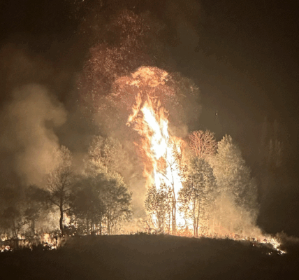
Officials with the Bridger-Teton National Forest are describing the Willow Creek Fire south of Smoot now at 73% contained on September 8, 2025. The size of the fire has remained unchanged for several days, holding steady at 4,065 acres.
The fire was first reported on August 22 and grew to over 3,500 acres by that following weekend, prompting the closure of U.S. 89 for several hours and forcing the evacuation of several area homes. No structures or residences have been damaged by the fire according to officials.
Full containment has been anticipated by September 15.
UPDATE:
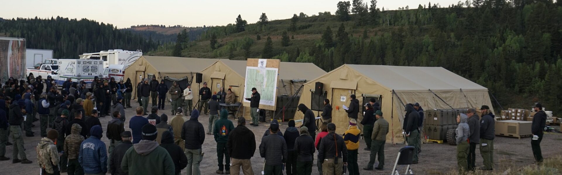
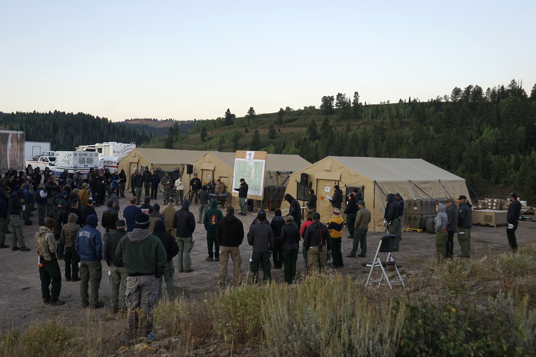
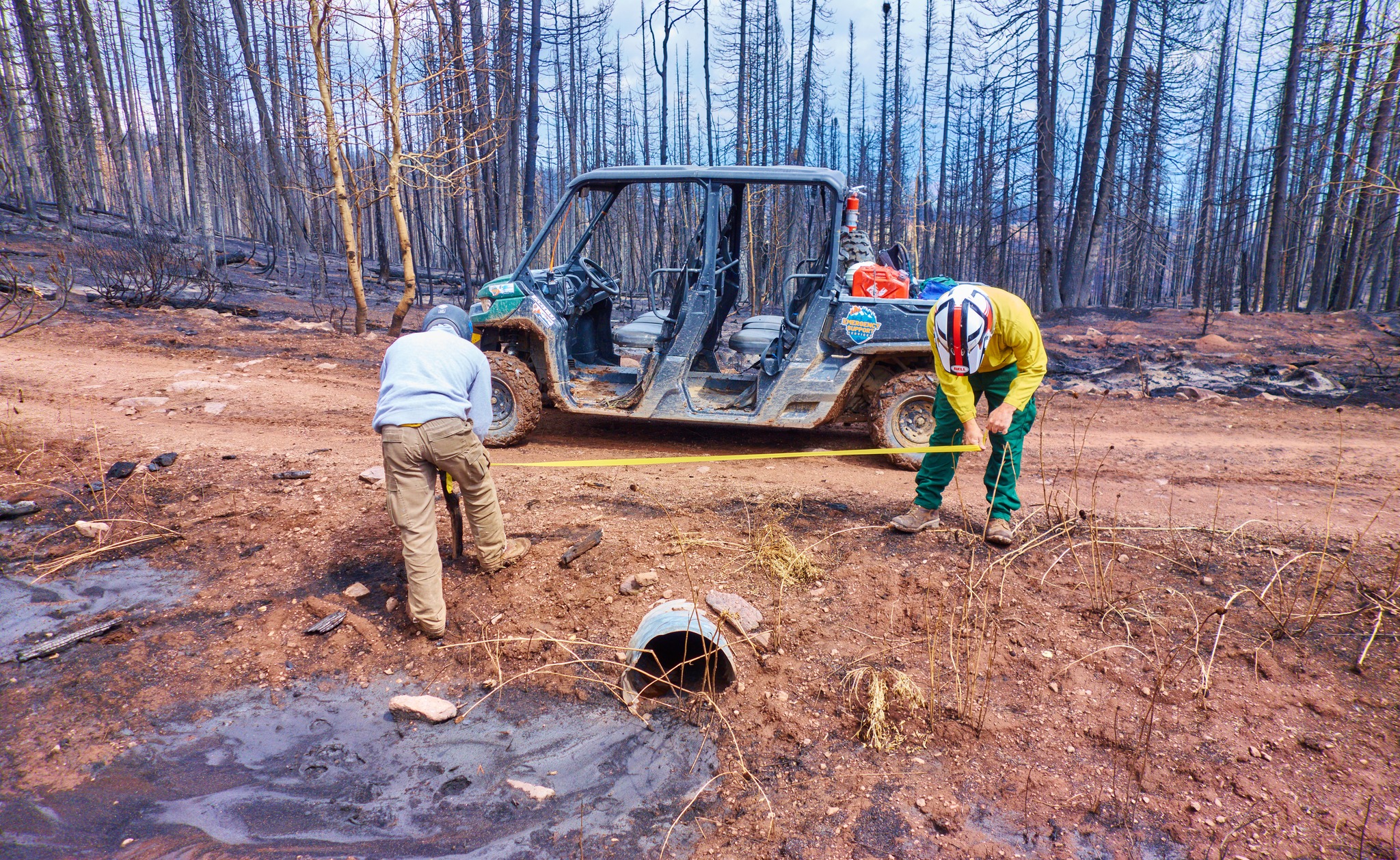
Effective Sept. 7, Wyoming Type 3 Team 3 assumed command of the Willow Creek Fire, which had been managed by Nevada Type 3 Team 2 since Aug. 24. Today, firefighters will continue tactics to tie in all remaining edges of the fire, felling snag and hazard trees that may pose a threat to fire lines. Roads and dozer lines used during firefighting operations are being rehabilitated. Helicopters are available to deliver water where needed to extinguish hot spots and to assist with removal of supplies from the fire area. Travelers on Highway 89 should be cautious of fire vehicles and equipment in the area and are asked not to pull over or park on the side of the road to view the fire area, which could pose safety hazards to emergency personnel.
WEATHER:
Areas around the fire experienced dime sized hail, and the fire planning area received precipitation as afternoon scattered showers and thunderstorms moved through Star Valley on Sunday. On Monday a high-pressure system will move into the area, bringing dry conditions and 25% relative humidity levels. Monday will be the only day with low or no forecasted precipitation as there is a chance for wetting rain for several days starting on Tuesday. Wednesday will have strong winds with 25 mile per hour wind gusts. Friday has the best chance for wetting rain and thunderstorms for the week.
EVACUATION/CLOSURE INFORMATION
An updated Bridger-Teton forest closure for portions of the Greys River Ranger District and Kemmerer District has been issued. Full details can be found at https://www.fs.usda.gov/r04/
2 COMMENTS
Comments are closed.