Results of WSGS Landslide Susceptibility Study Available as Map or Interactive Layer on Online Hazards Map
The Wyoming State Geological Survey (WSGS) released a new study on deep-seated landslide susceptibility in Wyoming. The results are available as either a published map—Open File Report 2019-7, available as a free download or as a hardcopy for purchase—or as a new interactive layer on the Wyoming Geologic Hazards Map.
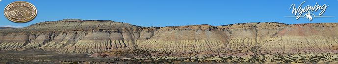
Landslides are the downslope movement of rock and soil under gravity and occur when a slope becomes unstable. Although often complex, landslides are generally either shallow, composed of unconsolidated materials, or deep seated, which typically involve bedrock. This project focused on the regional susceptibility of deep-seated landslides.
“Landslides happen all the time in Wyoming, although most occur in remote areas and rarely cause injury or damage to infrastructure,” says WSGS Director and State Geologist, Dr. Erin Campbell. “A single map showing a statewide overview of landslide susceptibility is a powerful visual tool. This study should aid in promoting awareness of landslides as a natural hazard and help focus attention on areas where landslide hazard is not well understood.”
Ground steepness (slope) and rock type were combined to provide a first-order estimate of susceptibility. Steep slopes and areas made up of weak rock types, often found on the flanks of Wyoming’s mountain ranges, typically show high susceptibility in this model. Areas with stronger rock types, or that are more flat like in the basin interiors of the state, are considered less susceptible.
“The results of this study are consistent with areas of the state known to have high potential for landslides, including much of northwestern Wyoming, the Wind River Mountains, and the flanks of the Bighorns,” said Seth Wittke, WSGS geologist and map co-author. “However, the results also highlight lesser-known areas of Wyoming that may be at risk for deep-seated landslides. We will focus much of our future work in these areas.”
Landslides are more common in the spring, or this time of the year, as groundwater levels rise and hillsides are saturated from runoff.
“The rock falls and landslides we’ve seen along several of Wyoming’s highways this past week are mostly due to ground saturation and steepness. These slides should become less frequent as the ground dries out. In our study, we only take steepness and rock type into consideration, and do not look at ground saturation since it varies with the season,” says Wittke.
Additional inputs beyond slope and rock type, such as groundwater levels, geologic structure, or other factors that contribute to landslides, were not considered for this study. The map, and associated data, are meant to be used at regional scales. The results do not incorporate susceptibility to debris flows or other shallow landslides, and are not appropriate for site-specific evaluation.