Public Information Statement
National Weather Service Riverton WY
200 PM MST Tue Feb 5 2019
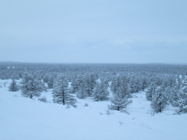
…Snowfall Totals for Saturday through Tuesday…
More snow slammed into Western Wyoming overnight as a series of
Pacific storm systems have impacted the Intermountain West since
Saturday. The following snowfall totals are from Saturday morning
through noon Tuesday.
Observations are collected from a variety of sources with varying
equipment and exposures. We thank all volunteer weather observers
for their dedication. Not all data listed are considered official.
Note: SnoTELS (Snow Telemetry) are remote sensing sites in high
mountain watersheds. Snowfall data from SNOTELS are estimated based
on snow water equivalent.
Lincoln County…
Commissary Ridge… 22 inches.
Blind Bull Summit Snotel… 17 inches.
Blind Bull Summit… 17 inches.
2 SE Thayne… 16.7 inches.
Spring Creek Divide Snotel… 16 inches.
Cottonwood Creek Snotel… 15 inches.
Box Y Ranch… 13 inches.
5 NNE Thayne… 12.5 inches.
Star Valley Ranch… 12.2 inches.
Willow Creek Snotel… 12 inches.
Salt River Summit Snotel… 12 inches.
Indian Creek Snotel… 10 inches.
5 SSE Smoot… 9.5 inches.
Kelley Ranger Station Snotel… 8 inches.
Hams Fork Snotel… 8 inches.
3 SE Bedford… 7 inches.
Afton… 5.9 inches.
Alpine… 5 inches.
3 S Fontenelle Dam… 1 inch.