ABOVE: Officials with the Bridger-Teton National Forest met with the public at the Afton Civic Center on Friday evening to update them and answer questions from the Willow Creek Fire.
CURRENT SITUATION
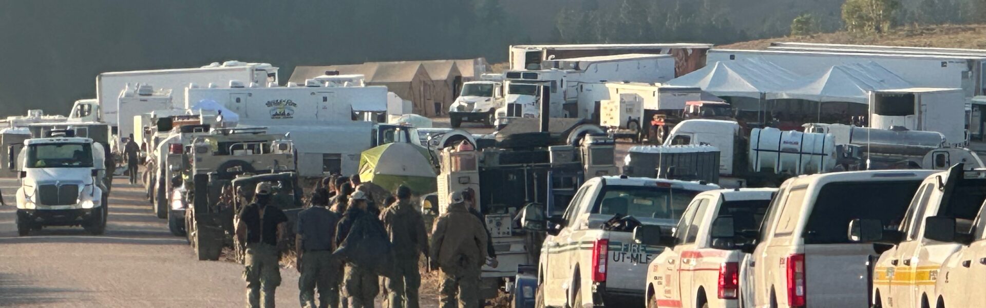
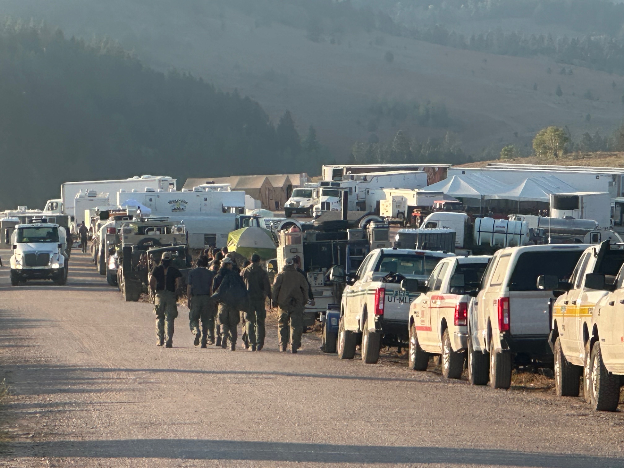
The fire perimeter is holding steady at 4,065 acres. On Sunday crews used direct tactics to work the fire edge by constructing hand line and clearing vegetation. Helicopters assisted with water drops on the east and west sides, allowing an increase in containment to 38%. Firefighters on the north end will be camped near the fire line to fight the fire more efficiently, extinguishing hot spots and tying the north line together. Hoses and sprinklers have been deployed on the east side of the fire near structures and crews are ready to utilize them if needed.
WEATHER FORECAST
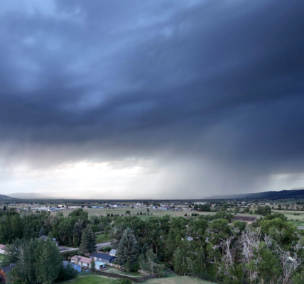
Clear skies and warmer temperatures are expected for Monday. Temperatures will reach into the mid to upper 70s with minimum relative humidity around 19%. Winds will be out of the southeast at around 8 miles per hour in the morning, shifting to the southwest with gusts up to 15 miles per hour. Clear and dry conditions will persist into the week. With this weather trend, fire behavior is expected to remain active with potential increases in smoke.
EVACUATION/CLOSURE INFORMATION
Lincoln County utilizes the READY, SET, GO! method. It’s important to be familiar with each stage; read the descriptions by visiting the Lincoln County Emergency Management’s Wildland Fire Action Guide at https://cms5.revize.com/…/
The evacuation zones remain at a ‘SET’ status. The zones are from mile post 75 south (vicinity of Gomm’s Pond Lane) to Salt Pass, and west of Highway 89 from Reeves-Schwab Lane South to Gomms Pond. Please be prepared for potential evacuation should the “GO” order be given. The Code Red notification will be initiated by Lincoln County Homeland Security & Emergency Management. Use this link https://public.coderedweb.com/
A forest closure for a portion of both the Grey River District and Kemmerer District, is still in effect. The defined boundary for area closure is as follows: from U.S. Highway 89 T29 N R 19 N Section 34 running west along the Bridger-Teton National Forest boundary (R19W R18W) to the Wyoming Idaho State line, running north along said state line to the Forest/private boundary at T 31 R 119 W section 30, following the Forest/private boundary SE to its intersection with U.S. Highway 89, running along the west edge of U.S. Highway 89 back to the point of origin. Smiths Fork Winter Trailhead is closed. Within the described area , all roads and trails are closed including Allred Flat Campground. Follow this link for full closure information: https://inciweb.wildfire.gov/
Travelers on Highway 89 are advised to use caution due to fire vehicles and equipment in the area. Please do not stop or park along the roadside to view the fire area, as this can create safety risks for emergency personnel.