Bridger-Teton officials narrow closure zone of Porcupine Slide; can now access Little Greys River
The Bridger-Teton National Forest is reducing the closure area along the Greys River Road downstream of the Porcupine Landslide. The new closure area begins 10-miles downstream of the landslide at the junction with the Little Greys River Road. While the risk to recreationists still exists along the forest road, the new data and additional analysis has allowed the District Ranger to feel more comfortable with decreasing the area of restricted occupancy in the interest of public safety.
“The latest report issued by Jorgensen Associates engineering firm in Jackson, Wyoming at the request of the Bridger-Teton, focused on specific risks to recreationists along the Greys River road, as opposed to our report we requested from the U.S. Army Corps of Engineers (USACE), where we asked for a rapid assessment of potential risks along the entire downstream river corridor,” said Greys River District Ranger Justin Laycock.
The Porcupine Landslide has continued to move into the Greys River. The river has cut into the opposite (west) bank from the landslide and continues to flow and overtop a 13 foot tall earthen dam. “The Forest has installed remote monitoring in the form of two stream height gages, and a web camera which is providing real-time images to Forest engineers at regular intervals,” Laycock said. “These mitigations, along with a commitment from Lincoln County and their Search and Rescue team as well as the information presented in the latest technical report, are why we are reducing the area closure to everything upstream of the Little Greys River Road,” Laycock confirmed.
There are 2 low lying areas of concern that still remain in the first seven miles of the Greys River Road between the Town of Alpine, Wyoming and the Little Greys River Road, but District Ranger Laycock believes the Forest can safely mitigate these risks. “Within the first 7-miles of road, Squaw Creek and Fire Trail Creek are still within the inundation areas at the worst case and at the lesser model, but we will sign all access entrances, and any areas predicted to flood will be closed to camping in this new Special Order,” Laycock said.
Some of the key difference between the two technical reports that helped inform the decision include a reduction in the size of the debris dam under a worst case scenario from 40-feet to 33-feet. Additionally, the experts were able to adjust the predicted river flow (cubic feet per second or CFS) from 55,000cfs to 17,593cfs. “The reason for these very significant differences are changes in conditions with runoff, slide movement, and most importantly the acquisition of post slide 3D topographic data,” said Laycock. The USACE report was the best data we had at the immediate time and with the given uncertainties. Now with more time, more data, and a recent look at predicted warm-up and spring runoff, we have a new report which reflects the changed conditions with the dynamic landslide,” Laycock said.
“If monitoring indicated a rise in the upstream gage, and a fall in the downstream gage, we would initiate emergency procedures,” Laycock stated. “Working with Lincoln County Dispatch we would activate Star Valley Search and Rescue and the Department of Homeland Security to mobilize and evacuate the 7 miles of at-risk road, and a larger emergency closure would be implemented immediately,” he stated.
Additionally, the Forest has plowed a user access route across McDougal Gap from Sublette County, Wyoming to the area above the Porcupine landslide. “Since we now have access from above the slide, we can drive to the slide location and assess current conditions from above, without putting people at risk below the dam,” Laycock added.
Background:
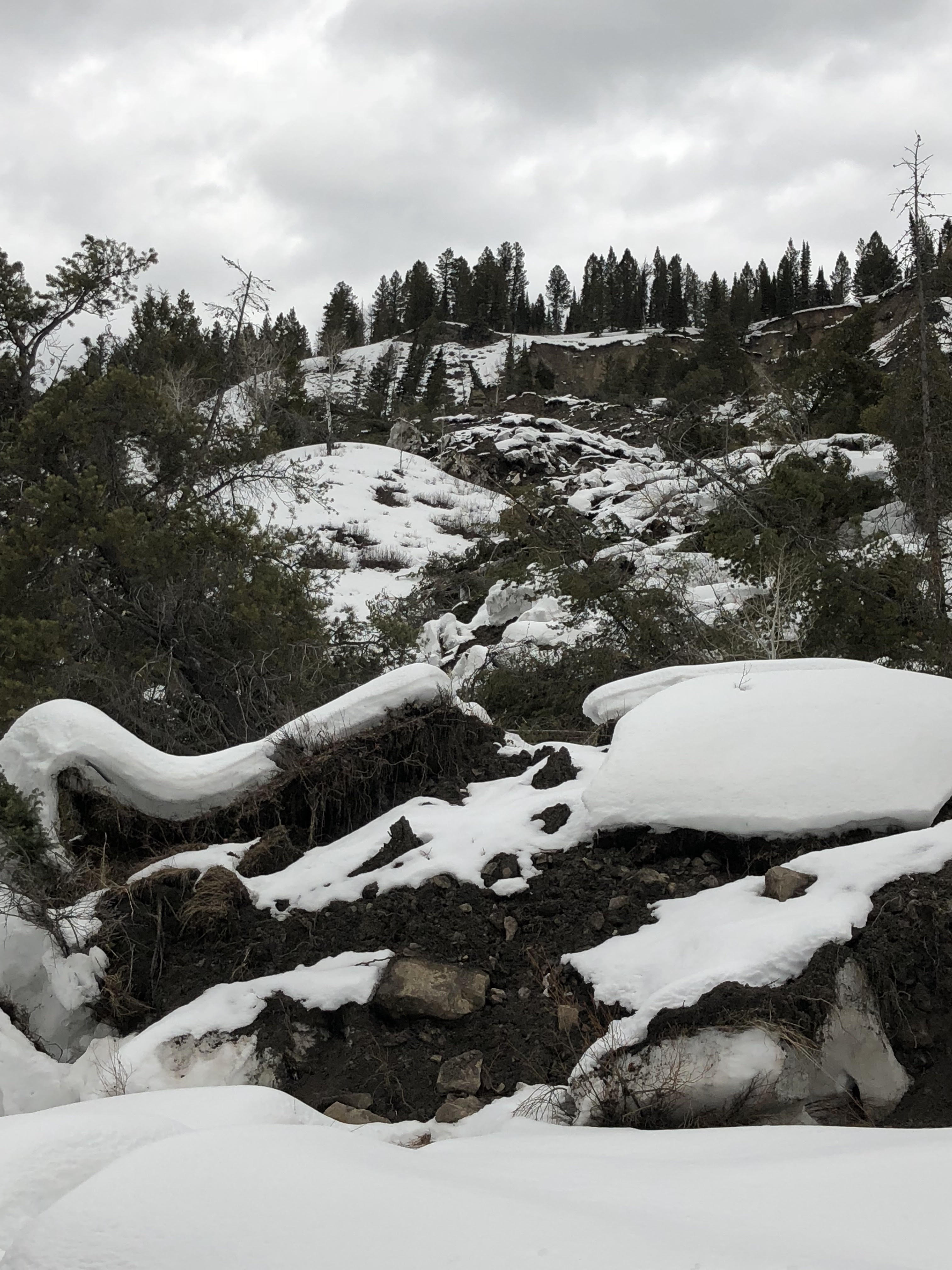
A combination of a large precipitation event and seismic activity initiated the large-scale earth movement February 8, 2018, that is now known as the Porcupine Landslide. The landslide is located near mile marker 17 of the Greys River Road (Forest Road 10138), near the junction of Porcupine Creek Road, within the Bridger-Teton National Forest.
The Forest Service staff began monitoring the event on February 13 and noticed nearly 20 feet of movement during the course of the day. As warmer temperature trends continued, the landslide progressed downslope, eventually impeding the flow of the Greys River. On March 9, 2018, the U.S. Army Corps of Engineers Walla Walla District published their report “Technical Assistance for Determination of Areas at Risk of Flooding from Potential Landslide Breach,” presenting concept-level modeling results focused assessing the safety risk to the community of Alpine, Wyoming. Their findings confirmed Forest users along the Greys River corridor downstream of the landslide were at risk in the event of a breach of the debris dam. On March 23, 2018, Bridger-Teton Forest Supervisor Tricia O’Connor issued Order Number 04-03-579, an Emergency Area Closure for all areas within the Greys River corridor downstream of the landslide to the Town of Alpine.
For more information, visit the Forest Website. For additional information, contact the Bridger-Teton National Forest at (307) 739-5500.