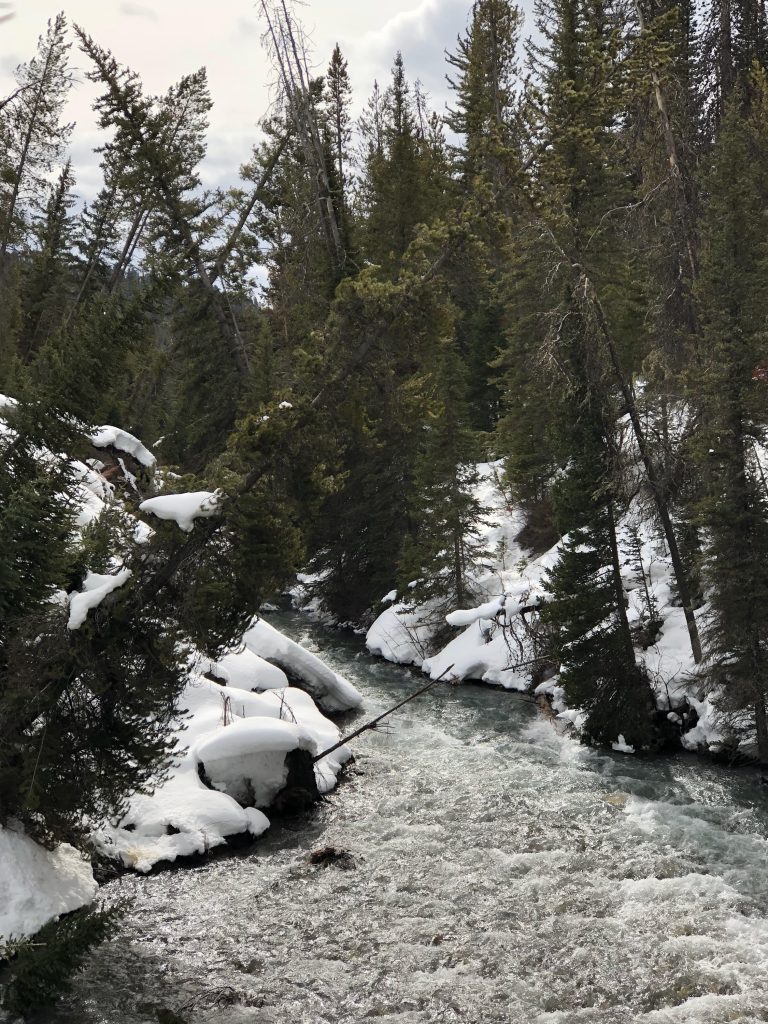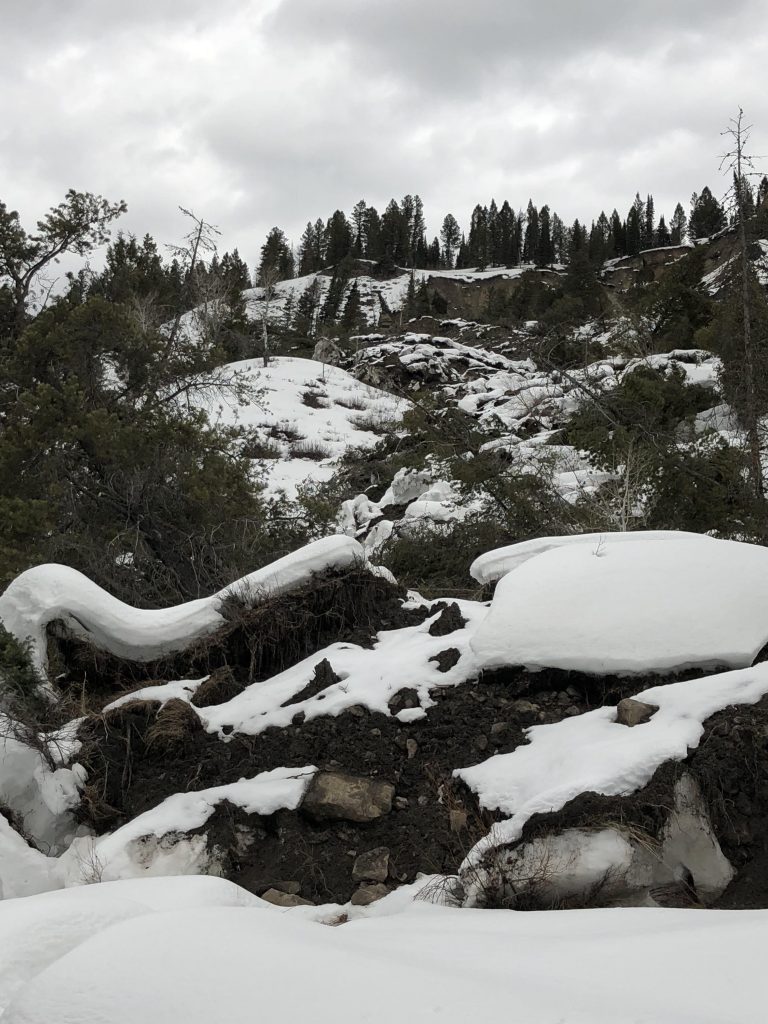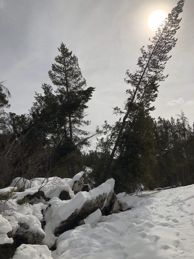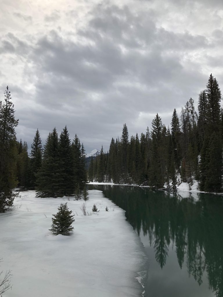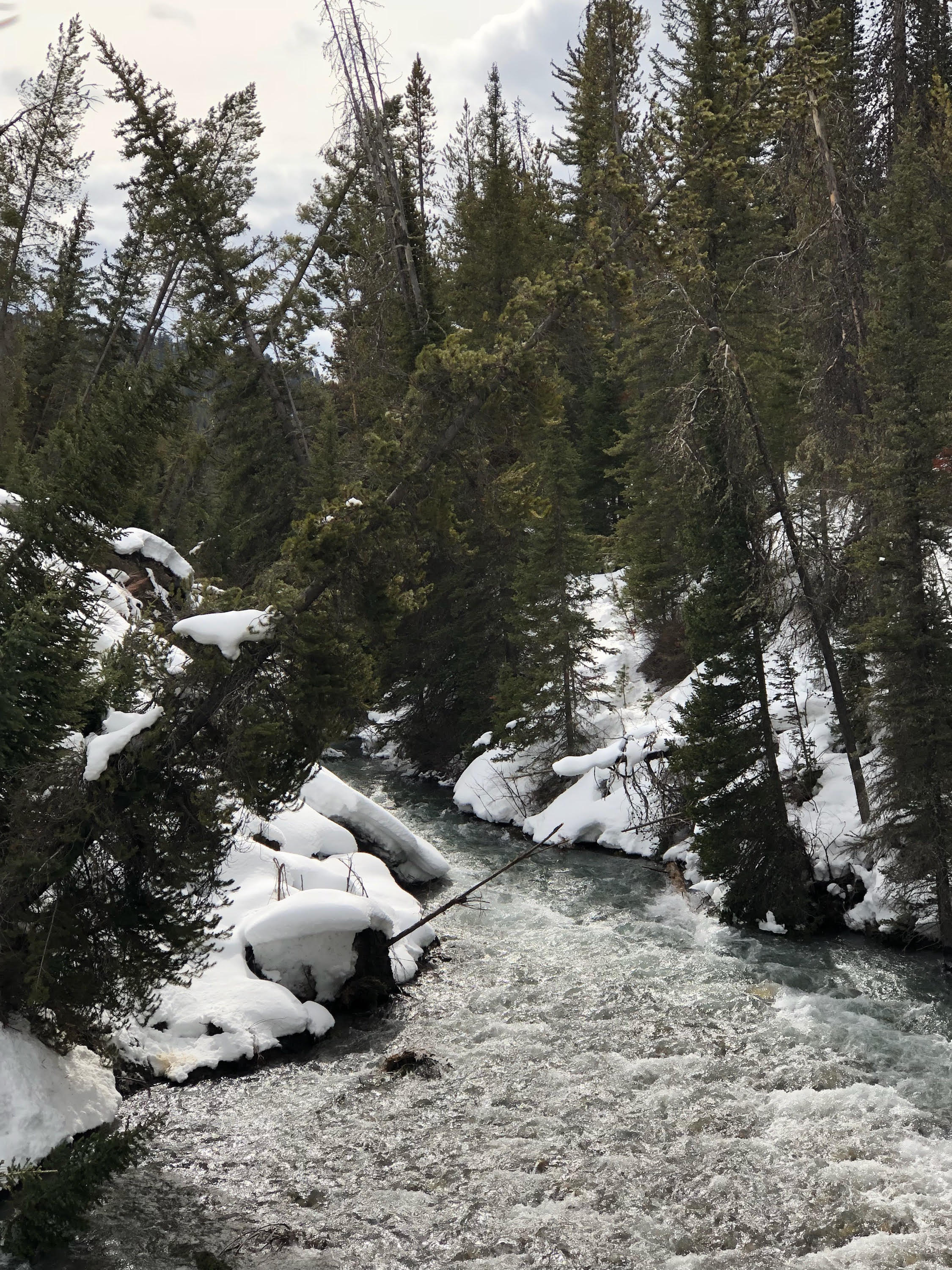
Below are images take on Wednesday, March 14 of the Porcupine Landslide that has closed the Greys River Road from the point of the slide to Alpine. The slide occurred 17 miles up the river in mid February and continues to be active. The slide area is a quarter-mile wide and actively slumping towards the Greys River.
In addition, this past week, Bridger-Teton officials teamed up with the U.S. Army Corps of Engineers to create a model flood scenario of the area, should the landslide establish a natural dam in the river and then break, sending large amounts of water down stream and into the Alpine area.
Greys River District Ranger Justin Laycock said that “While the model shows that the flooding risk to homes or property in Alpine is considered ‘low’ and limited to two structures, the risks in the corridor itself are much different.”
Laycock continued, “Given the uncertainty of when or if the scenario could take place we must close the area to human presence until the situation stabilizes.”
More details on this story, including comments from Alpine Mayor Kennis Lutz and Tim Bagerberger with the Box Y Lodge, can be found on the front page of the March 14 edition of the Star Valley Independent.