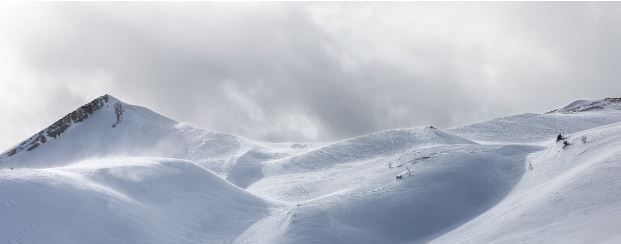
A winter storm brought snow and wind to western Wyoming, February 27-28. Highest snowfall amounts were observed in the western valleys and mountains. Strong and gusty winds impacted roads from Sweetwater County to Natrona County, including South Pass. A notable feature from this event was a snow squall during the afternoon on the 27. It brough short-lived, heavy snow to the western valleys and continued eastward, impacting the Dubois area and areas sought of Meeteetse. While passing through Star Valley, the snow squall caused a series of vehicle accidents.
Below are local snowfall totals from the two storm, as reported by the National Weather Service.
5 SSE SMOOT                  27.0 IN
10 ESE SMOOT                 25.0 IN
3 SE TURNERVILLE             17.0 IN
6 ENE SMOOT                  16.0 IN
1 SE THAYNE                  16.0 IN
21 NE COKEVILLE              15.0 IN
10 ENE TURNERVILLE           15.0 IN
15 ESE SMOOT                 14.0 IN
4 NNE THAYNE                 13.7 IN
16 ENE TURNERVILLE           13.0 IN
8 S SMOOT                    12.0 IN
15 NNE COKEVILLE             11.0 IN
16 ENE TURNERVILLE           11.0 IN
AFTON                        11.0 IN
3 N ETNA                     10.5 IN
STAR VALLEY RANCH            10.0 IN
2 NNW TURNERVILLE            10.0 IN
15 ENE COKEVILLE             7.0 IN