Greys River Slide still moving, could dam river and threaten Alpine
(The following is a press release from the Bridger-Teton National Forest.)
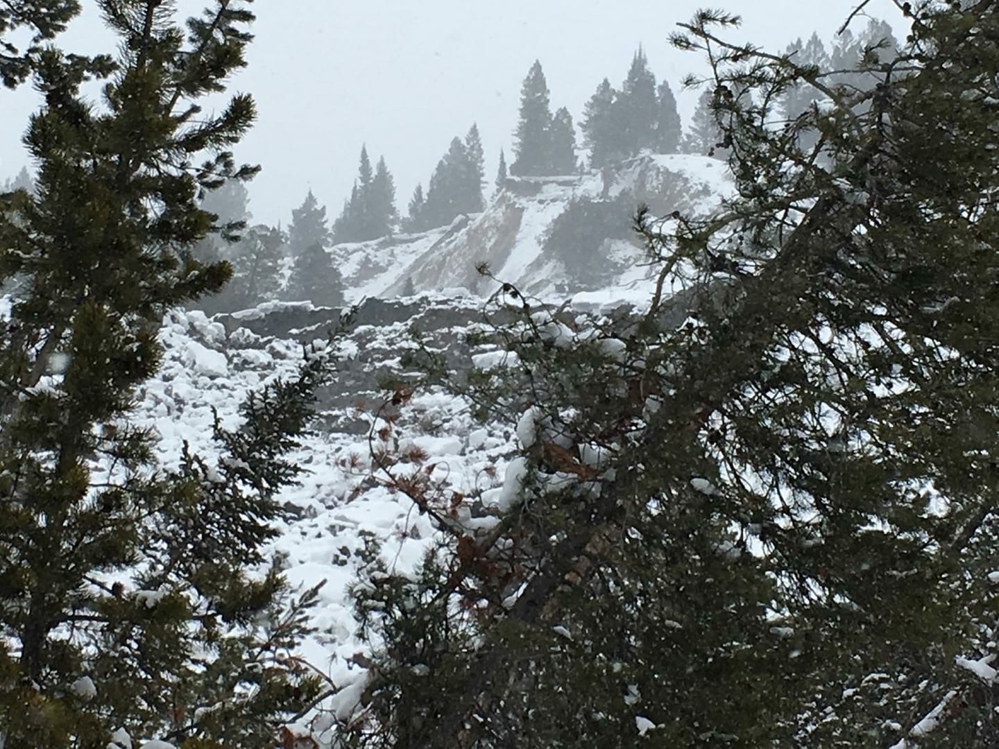
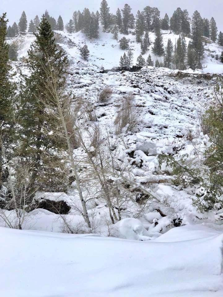
The Porcupine landslide which occurred in February 2018 on the Bridger- Teton National Forest near Alpine, Wyoming is affecting a quarter mile of the Greys River Road (FS Road 10138) and is still sliding down the hillside and into the floodplain. There is potential for the slide to create a natural dam on the Greys River. Several federal and state agencies are currently engaged in monitoring the slide movement and studying the potential for a natural dam to form and impound water. The primary focus of the multi-agency effort is public safety and the protection of life and property. The teams are modeling the potential for flooding if a natural dam were to form and fail, examining the threat to the Town of Alpine.
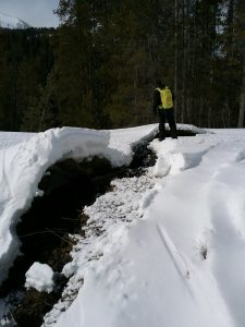
“We are concerned due to the number of unknowns presented by the landslide moving down the hillside into the Greys River and have requested assistance from specialists from around the State,” said Greys River District Ranger Justin Laycock. “We have analysis team members from the U.S. Army Corps of Engineers (USACE) Walla Walla District assisting, and several agencies are building hydrologic models to assess any potential flooding risks posed by the slide,” he said.
The Forest has assembled high resolution GIS data for the Greys River as a result of the cooperation from USACE, the U.S. Geological Survey, Wyoming Department of Homeland Security and the Forest Service Geospatial Technology and Application Center. The Bridger-Teton will begin contingency planning specific to the Town of Alpine jointly with the State of Wyoming, USACE, and other emergency operations specialists after the hydrologic modeling has been compiled and analyzed.
“In the meantime, the Forest has provided the as-built drawings of bridges along the Greys River Road
in preparation for any planning efforts that may be forthcoming,” Laycock said.
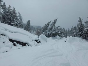
There is a temporary closure order in effect around the landslide area. Although the Alpine access is closed 17-miles in from the parking lot, visitors still may access the Forest beyond the closure by three other routes. (1) either by the Smith’s Fork, Forest Service Road 10072, road located South of Afton or (2) through forest service access from Big Piney, WY (proceed to Ryegrass Junction to Forest Service Road 10125, also known as N. Cottonwood, then over McDougal Gap to Greys River Road) and 93) The La Barge Road accessed from the town of La Barge, Wyoming
“The Forest Service and cooperating agencies’ priority in addressing this natural event is first to safeguard life and public safety, and second to protect infrastructure and other property,” said Laycock. “We have the right specialist in place to help with assessing the situation and establishing the necessary action points until the landslide stabilizes,” he said.
The Forest has identified a temporary non-groomed over-snow route for public access up and around the slide area from Alpine. This bypass is not recommended for inexperienced snowmobilers.
For more information, visit the Forest Website at http://www.fs.fed.us/r4/btnf <http://www.fs.fed.us/r8/gwj> . For additional information, contact the Bridger-Teton National Forest at(307) 739-5500.

1 COMMENTS
Comments are closed.